Category: Central Oregon
Christmas Valley Sand Dunes
Northeast of Christmas Valley, the natural sand dunes cover 11,000 acres/45 km2. They consist of mostly pumice and ash from the explosive eruption of Mt. Mazama that formed Crater Lake. The easy way to get there: Take Hwy-97 south from… read more Christmas Valley Sand Dunes
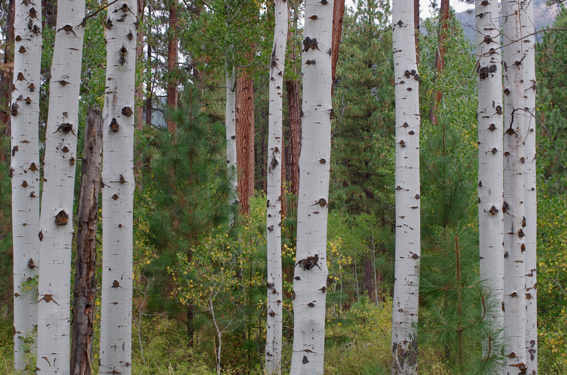
Aspen and Ponderosa
Along the road into Black Butte Ranch, near Sisters, there is a grove of aspen trees. Since the area is also home to ponderosa pine tree, an interesting mix can occur. Download HD Wallpaper Location via Google Maps
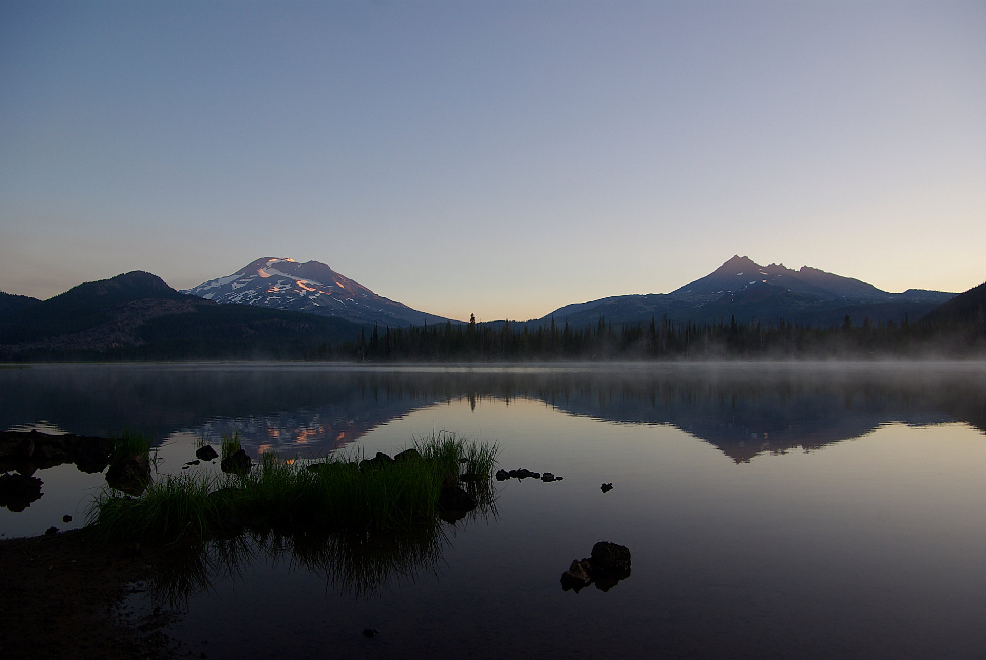
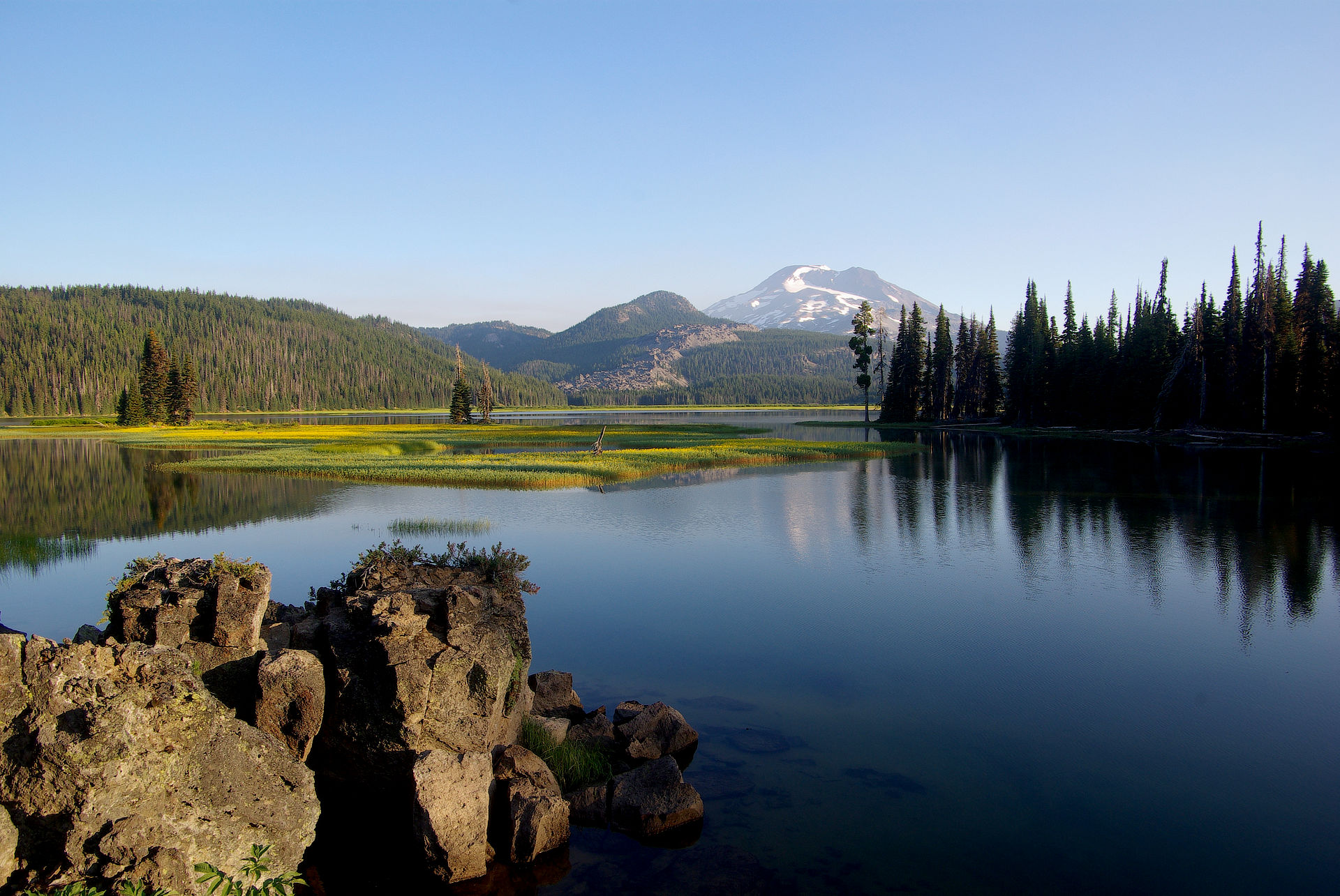
Sparks Lake Sunrise
Taken at sunrise, near the Sparks Lake Campground, on a cold clear morning at 34f/1c degree morning in August. I find it hard to believe that some people were still sleeping in their tents and not seeing this. A fantastic morning…. read more Sparks Lake Sunrise
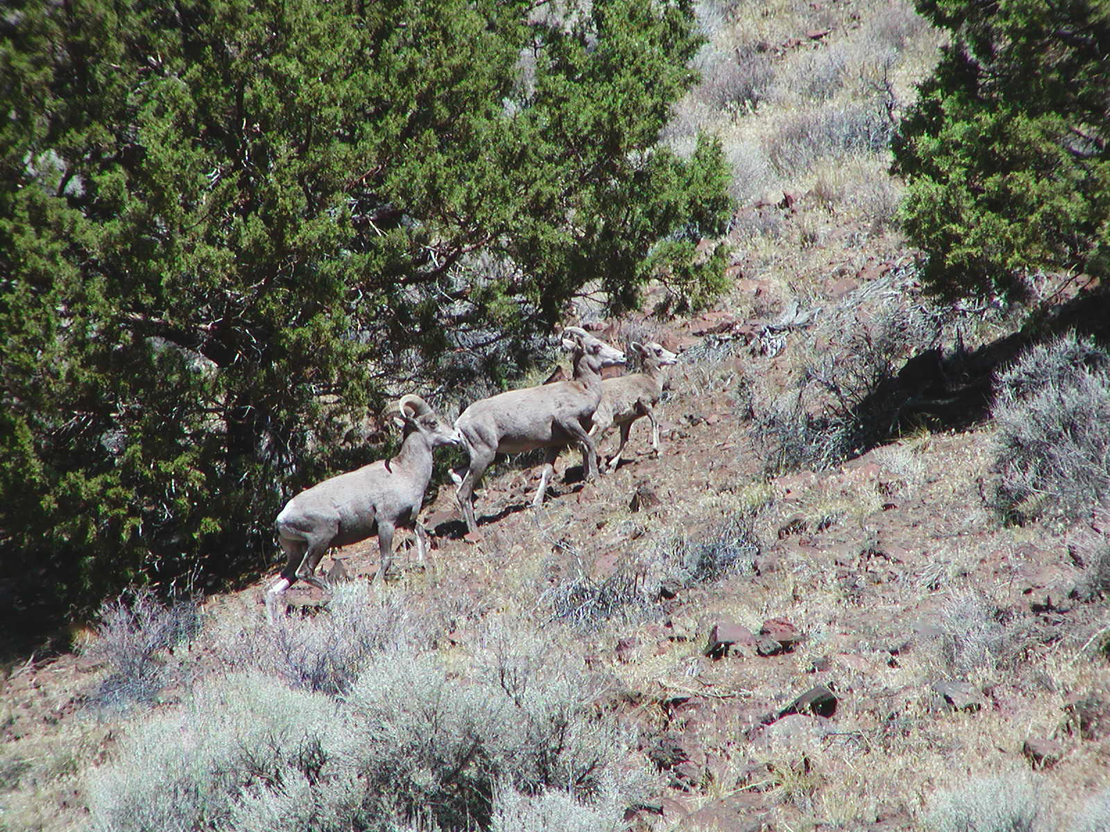
Rocky Mountain Bighorn Sheep
Viewed from Hwy-140 between Klamath Falls and Lakeview in (very) southern Oregon. Not typically seen, especially from a road/vehicle, this was a surprise.
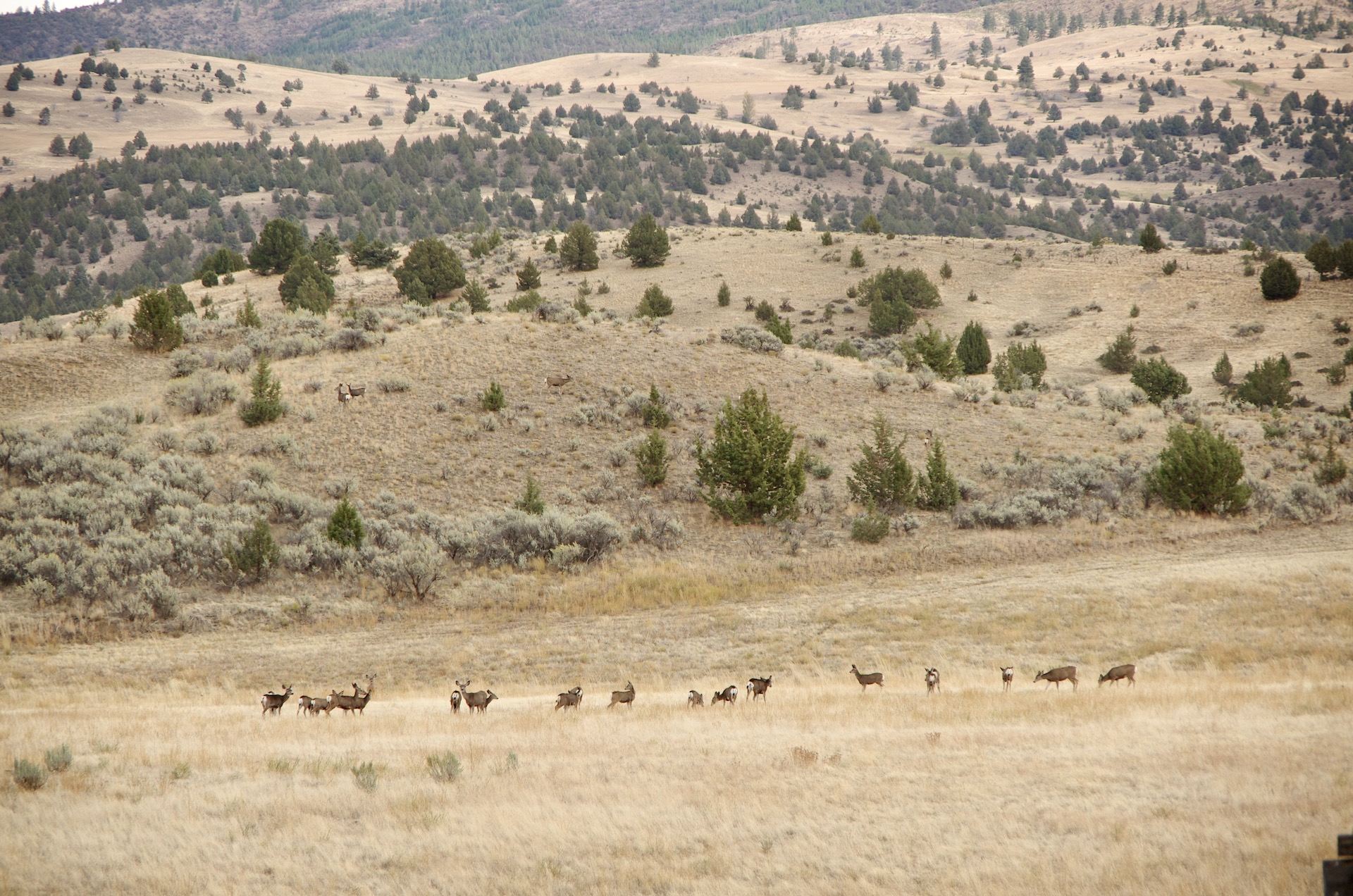
How Many Deer?
How many deer can you see? Taken from Hwy-19 between Fossil and Kimberly in eastern Central Oregon. Most people think of green forests and rain when they think of Oregon. Central and most of Eastern Oregon is not that. The… read more How Many Deer?
Central Oregon Valley
A Central Oregon valley as viewed from highway 27 South of Prineville. Download HD Wallpaper
Sparks Lake
Sparks Lake is near Mt. Bachelor and the South Sister (the mountain in the photograph) in central Oregon. This photograph was taken shortly after sunrise on a just above freezing, perfect August morning. I can almost smell the cutthroat trout over the campfires. The lake… read more Sparks Lake
Girds Creek Road
A fantastic drive through the rocks! This hidden gem is north of Mitchell in Central Oregon (perhaps Eastern Oregon at this point…). From Hwy-26, exit at Mitchel taking Hwy-207 North until you see Twickenham Road to the left. Twickenham Road… read more Girds Creek Road
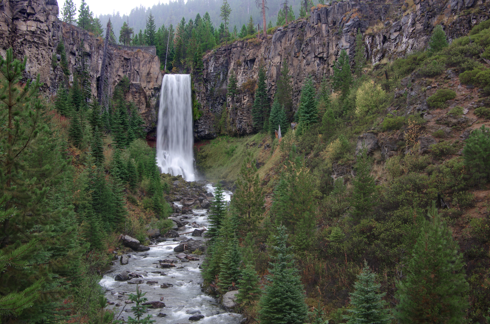
Tumalo Falls
I remember the first time I saw this waterfall. I came up to the viewpoint and said “WOW”. Tumalo Falls is a 97 foot/30 meter waterfall only 14 miles/23km from the city of Bend in Central Oregon. The three mile/five km… read more Tumalo Falls
Painted Hills
The Painted Hills, a unit of the John Day Fossil Beds National Monument, get their name from the stratifications in the soil. The bands are from layers of silt, vegetative matter and more from the time this was an ancient river… read more Painted Hills
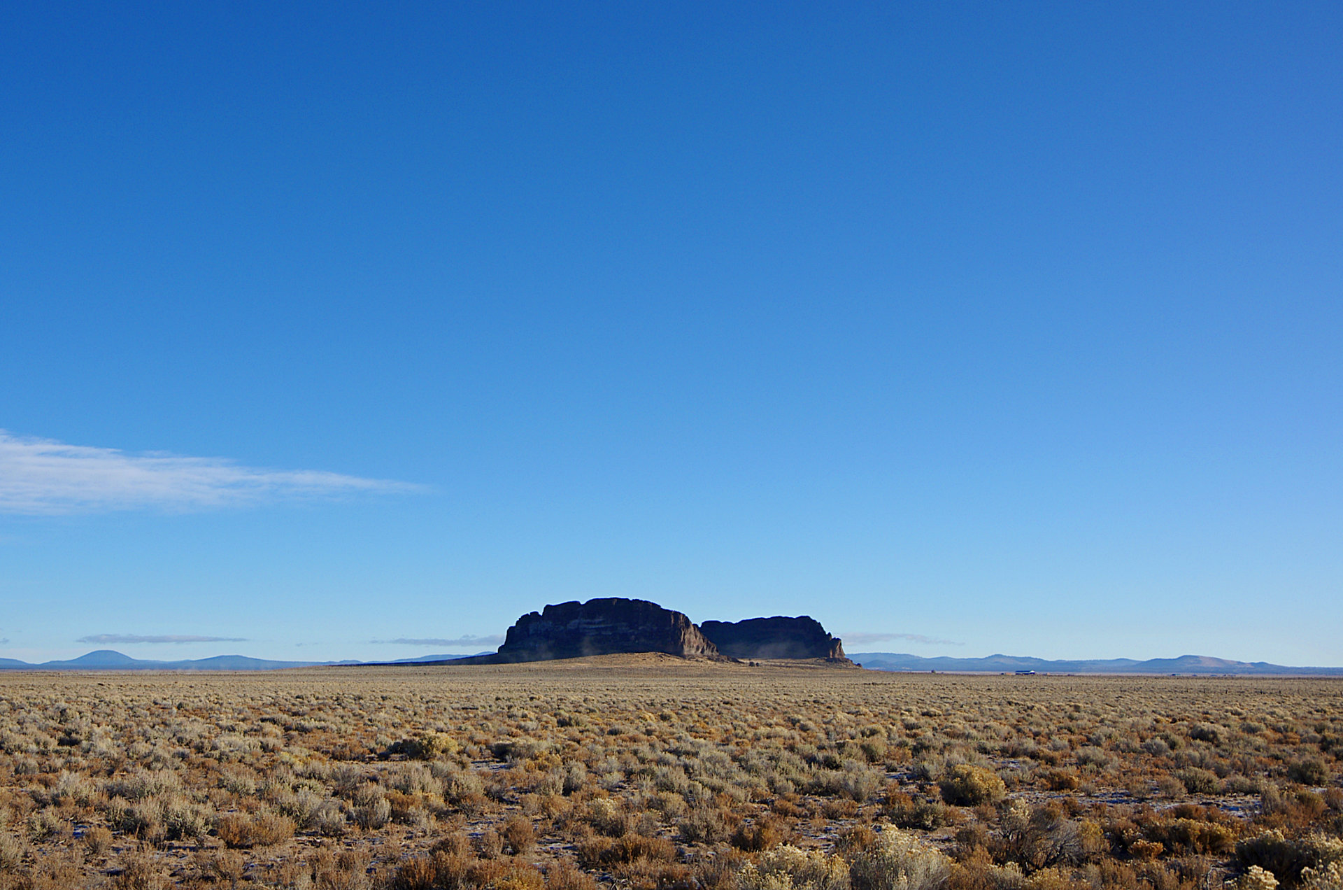
Fort Rock
The Fort Rock State Natural Area is located SE of Bend in Central Oregon. It is a ”Tuff Ring” or ”Tuff Volano”. The ring is about 4,460 feet / 1,360 meters across and about 200 feet / 60 meters high. It was… read more Fort Rock


