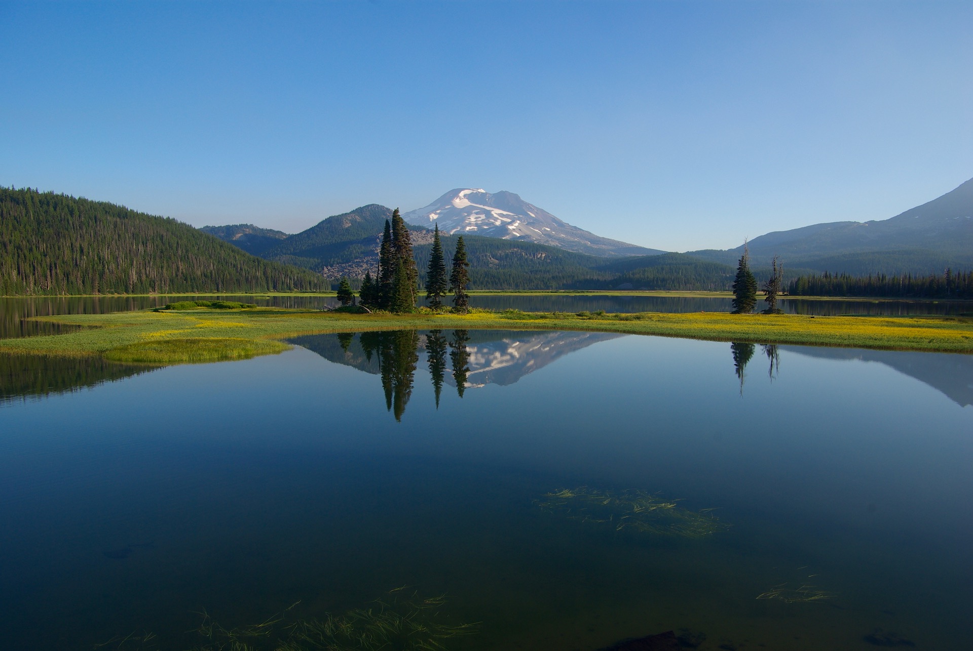
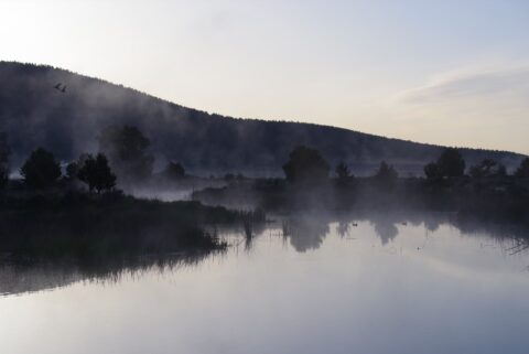
Sparks Lake
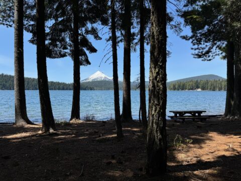
Sparks Lake is one of my favorite parts of the state. If I lived nearby, I would be there “too much”, if that is a thing. The lake is one of several in Oregon that does not have a visible… read more Sparks Lake
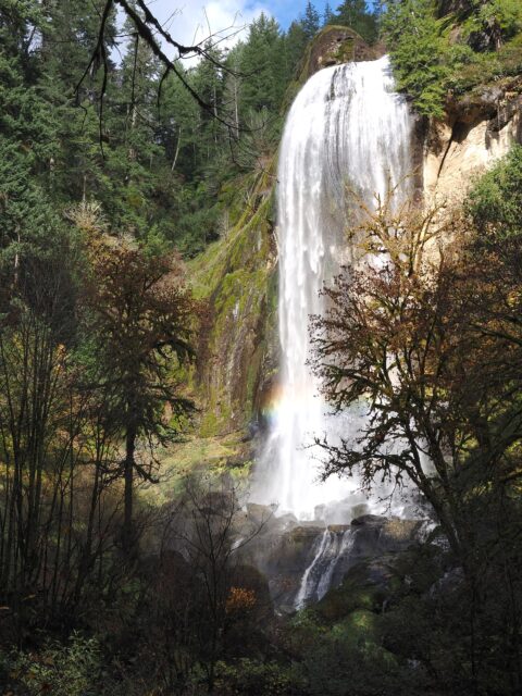
Upper North Falls
Located at Silver Falls State Park, this 65 ft/20 m curtain style waterfall is at the end of a very easy mostly flat walk. When the trail ends, this is the view. This is the eastern most waterfall in the “Trail of… read more Upper North Falls
Douglas Fir
The Douglas fir tree is extremely common in western Oregon. The tree can survive for several hundreds or perhaps a thousand years, with mature trees ranging from 100 ft/30 m to 320ft/98 m tall and up to 8 ft/2.4 m in diameter…. read more Douglas Fir
Painted Hills
The Painted Hills, a unit of the John Day Fossil Beds National Monument, get their name from the stratifications in the soil. The bands are from layers of silt, vegetative matter and more from the time this was an ancient river… read more Painted Hills
Trillium Lake and Mt Hood
Taken near the boat launch on Trillium Lake, this view of Mt. Hood is a classic. Trillium lake is popular for camping, fishing, non–motorized boating, and photography. It is unique in that there isn’t a creek or river flowing into… read more Trillium Lake and Mt Hood
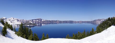
Crater Lake National Park
Taken from the area near the lodge in May, before the snowmelt, this is one of my favorites. The lake is beautiful anytime of the year, but winter and spring are magical. This image is actually a composite of seven… read more Crater Lake National Park
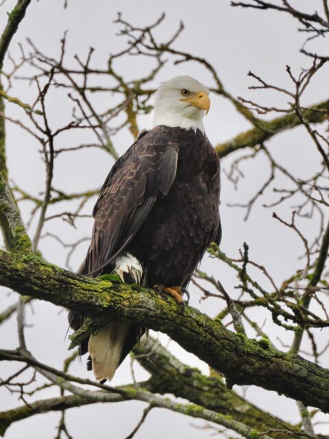
Bald Eagle
This mature bald eagle was wintering somewhere near Albany. I cannot provide the exact location, as it was just in a tree next to the road. Just keep your eyes out, especially during lambing season, and you will see them…. read more Bald Eagle
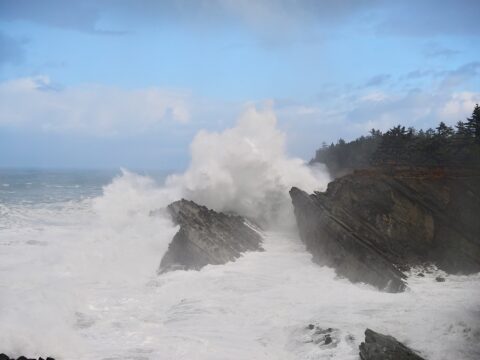
Shore Acres Wave
A wave from a mild storm at Shore Acres State Park. This photo was taken are the Simpson Reef overlook. The people on the right side of the image are about 75ft/23m above the water, so this wave is around… read more Shore Acres Wave
Where was I?
This beauty is from an undisclosed location in SE Oregon. Roughly somewhere between Burns and Steens Mountain, you’ll have to discover this one for yourself. I know I try to explain where I was and how to get there, but… read more Where was I?
Silver Falls
This is Silver Falls, from the Golden and Silver Falls State Natural Area located NE of Coos Bay. I prefer Silver Falls in the “park” as the dome at the top of the waterfall makes for a very unique water… read more Silver Falls
Doherty Hang Glide Launch
Near the Nevada border in Southern Oregon, the hang glide launch is near the top of the Doherty Slide just past mile post 56 on Hwy-140 SE of Lakeview. With the basin floor at 5,200ft/1,585m and the top of the… read more Doherty Hang Glide Launch
Stevenson Park Sunrise
Stevenson Park is located near milepost 12 east of Klamath Falls on Hwy-140. During the day, the park may not be the most attractive, but it looked pretty good driving by at 5:15 AM (May 19). I shot several photos… read more Stevenson Park Sunrise
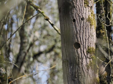
Surprised Tree
This tree along the “Rail Trail” at the Ankeny National Wildlife Refuge has holes that line up just about right. The expression on this tree always makes me smile. I think they are woodpecker holes, but I cannot confirm. Location… read more Surprised Tree
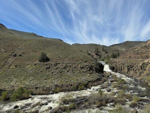
Deep Creek Falls
This is an oddity, a waterfall in the high desert. Deep Creek Falls is 25 ft/8 m high and is located East of Lakeview on OR Hwy-140. This is the view when heading east on the highway. Location via Google… read more Deep Creek Falls
Mt McLoughlin
Mt McLoughlin is a 9,493 ft/2,893 m high dormant volcano in Southern Oregon. It is a major landmark in the area. For a mountain this high, it has a rare hiking trail to the summit. This photo was taken from… read more Mt McLoughlin
Pronghorn in the Road
Typically seen from a distance, this was a surprise. She patiently waited for me to take several photos before continuing on her way. Sometimes called a pronghorn antelope, it is not a true antelope. It is the only surviving member… read more Pronghorn in the Road
Lake Abert
Lake Abert is a large alkali lake that is approximately 15mi/24km long and 7mi/11km wide. Because of the alkali content and high salinity, fish cannot survive in the lake. There isn’t any recreation on the lake, as the water is… read more Lake Abert

