Pillars of Rome
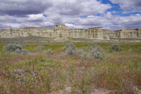
These clay formations do somewhat resemble the pillars in Roman ruins. Located in very SE Oregon, they are seldom visited. Even though few people see them, it is a great side trip if you are in the area. The formations… read more Pillars of Rome
BLM Wild Horse Corrals
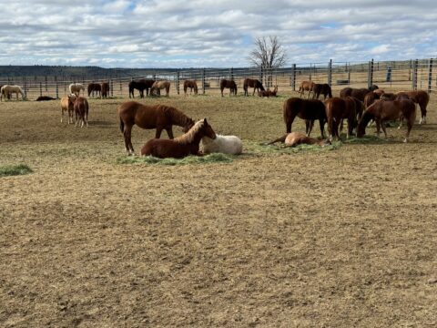
The Bureau of Land Management manages the wild horses in Oregon. Their goal is to maintain a healthy population, and periodically removes animals that the lands may not be able to sustain. The wild horses are brought to the corrals… read more BLM Wild Horse Corrals
Salmonberry
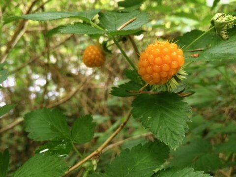
A slightly tart and delicious salmonberry. You can find salmonberries from Alaska to California and inland to Idaho. If I am out and happen to see them, it is time for a snack… If you keep your eyes out near… read more Salmonberry
Tumalo Reservoir and Three Sisters
As I was driving from the Bend area to the valley one evening, I saw something developing to the west. It was several years ago, so I opened a map up, looked at the area, and headed to Tumalo Reservoir… read more Tumalo Reservoir and Three Sisters
Lincoln City Beach
A typical cold March day in Lincoln City on the Central Oregon Coast. In Oregon all beaches are public access. If you see a beach, you are not prohibited from being on the beach. You cannot cross private property to… read more Lincoln City Beach
Ground Cover
A view of grass and other ground cover plants on the southern Oregon coast. Location via Google Maps Download HD Wallpaper
A Deer Surprise
When traveling around the state, you will encounter wildlife. I surprised this one near the city limits of a town in Central Oregon. It could have been anywhere… Just keep your eyes open and you will see something notable. Download… read more A Deer Surprise
Deadly Beauty
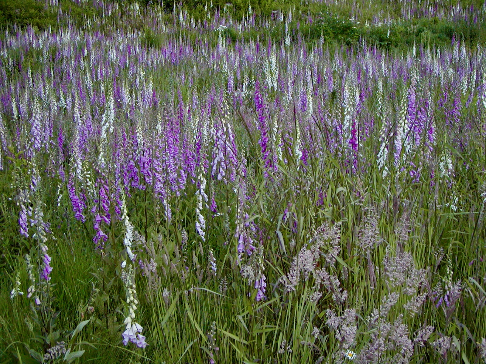
Foxglove, or digitalis purpurea, is a poisonous plant that is deadly and beautiful. The stem of flowers can reach 6.5 ft/2.2m in its second year. The wild ones, like those here, are typically white or purple, but other colors are… read more Deadly Beauty
Three Sisters From Sisters
A view of the Three Sisters mountains from the town of Sisters in Central Oregon. From Sisters, just head out Hwy-242 and look to the left. You cannot miss the view of three of the tallest mountains in Oregon. Download… read more Three Sisters From Sisters
Yawning Red Tailed Hawk
Yes, if you are out early in the morning, even the animals are a little tired. This VERY cooperative red tail hawk patiently waited for me to take about 50 photos before I drove off. This one of a yawn… read more Yawning Red Tailed Hawk
Trillium – And Two Friends
A photo of a Pacific Trillium, in Silver Falls State Park, during a light rain storm. If you look closely, you can see that there are two little “friends” in the photo… This is the most abundant trillium in western… read more Trillium – And Two Friends
Urban Bald Eagle
This is a photo of a bald eagle within the city limits of Salem, Oregon. There are two nests in Minto-Brown Island Park, but this one was several miles/km away. Sometimes, it is best to just keep your eyes open… read more Urban Bald Eagle


