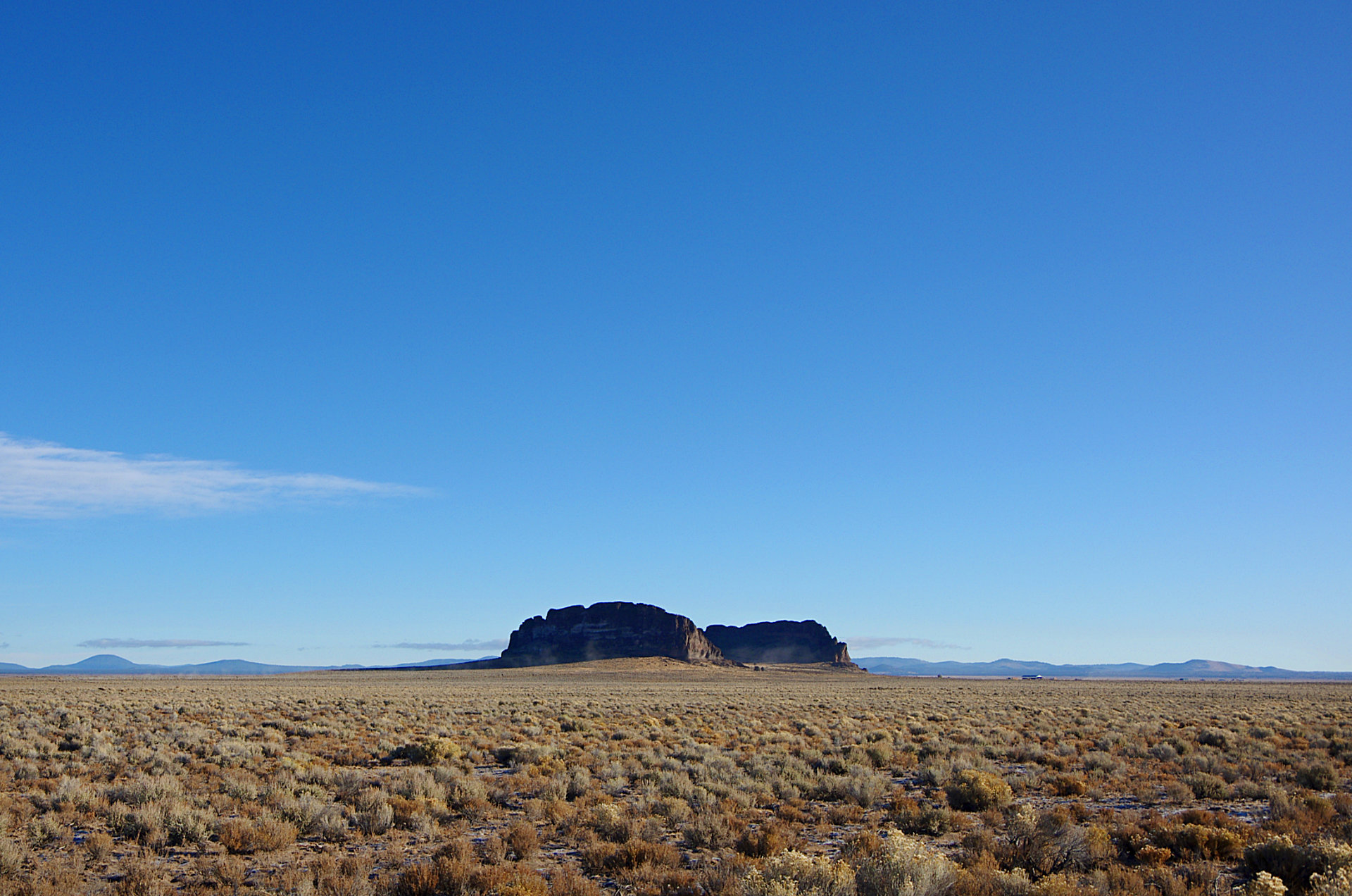
The Fort Rock State Natural Area is located SE of Bend in Central Oregon. It is a ”Tuff Ring” or ”Tuff Volano”. The ring is about 4,460 feet / 1,360 meters across and about 200 feet / 60 meters high. It was named after its resemblance to old fashioned military style forts.
Long ago this area was an ancient lakebed. When the magma from this volano encountered the cool water it spewed and spouted steam, lava, ash and more. That created a circular island in the lake. When you are close to Fort Rock, you can see the wave erosion on its sides. Wave erosion also caused the collapse of one of the sides, seen in this photo.
There is a LOT of volanic geology in the area. In addition to this, there is Hole–In–The–Ground and The Big Hole which look like meteor impact craters but are actually volanic maar’s (Volcanic explosion craters). Also nearby are numerous caves, Crack in the Ground (very cool to visit), the entire Newberry Crater system (a collapsed volcano, like Crater Lake, but with two lakes, waterfalls, lava fields, obsidian flows, and more.) There are several lava fields near Fort Rock including Devil’s Garden, Four Craters, and East Lava Field.
I have several shots closer to Fort Rock, but I think that this distant shot is the best one. You can really see the desolation of the deserts in Central Oregon.
Take Hwy-97 south of Bend and LaPine to Hwy-31. Continue down Hwy-31 until you see it on the left. Follow the signs for the visitor center and to walk up to it, and even into it.
Location via Google Maps


