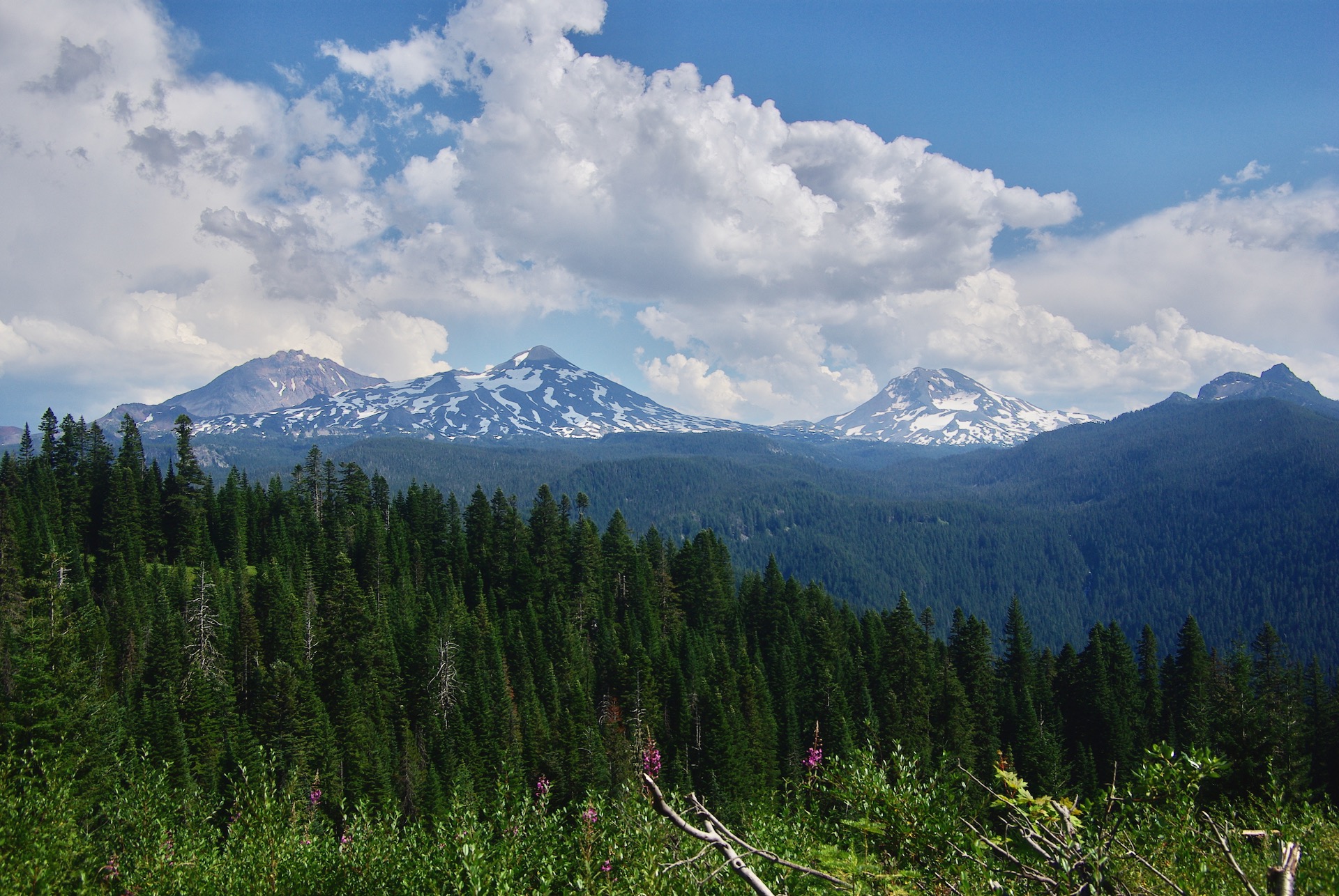
The Three Sisters mountains from a remote road north of the McKenzie Highway, Hwy-242.
The three sisters are very close and very different volcanoes. The North Sister is an extinct shield volcano, the Middle Sister an extinct stratovolcano, and the dormant South Sister (visible in other photos on this page) is a composite volcano with a rhyolitic stratovolcano overlying an older shield base.
Odd trivia: The seasonal lake in the crater of the South Sister, named Teardrop Pool, is the highest lake in Oregon at 10,131 feet/3,088 meter elevation.
You can get there on a dirt road that leaves Hwy-126 north of the Hwy-242 junction, Scott Creek Road/Forest Service road 2649. You can see the location on Google Maps. This is an old logging location on the way to the remote Boy Scout camp, Camp Melakwa. It is amazing what you can locate using a map and a little creativity.
Those who know the area, may be able to barely see white water from lower proxy falls in the center right hand area of the photograph. Visiting Upper and Lower Proxy falls is a nice walk/hike. The lower falls are a pretty cascade down the mountain. The upper falls are unique, in that you walk right up to the base of the falls and can walk around the pool. There isn’t a visible outlet to the pool. The water passes through the porous lava and emerges downhill a short distance. Very cool.
Location via Google Maps


