Tag: rock
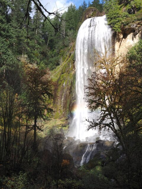
Silver Falls
This is Silver Falls, from the Golden and Silver Falls State Natural Area located NE of Coos Bay. I prefer Silver Falls in the “park” as the dome at the top of the waterfall makes for a very unique water… read more Silver Falls
Doherty Hang Glide Launch
Near the Nevada border in Southern Oregon, the hang glide launch is near the top of the Doherty Slide just past mile post 56 on Hwy-140 SE of Lakeview. With the basin floor at 5,200ft/1,585m and the top of the… read more Doherty Hang Glide Launch
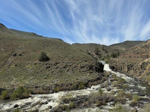
Deep Creek Falls
This is an oddity, a waterfall in the high desert. Deep Creek Falls is 25 ft/8 m high and is located East of Lakeview on OR Hwy-140. This is the view when heading east on the highway. Location via Google… read more Deep Creek Falls
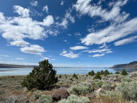
Lake Abert
Lake Abert is a large alkali lake that is approximately 15mi/24km long and 7mi/11km wide. Because of the alkali content and high salinity, fish cannot survive in the lake. There isn’t any recreation on the lake, as the water is… read more Lake Abert
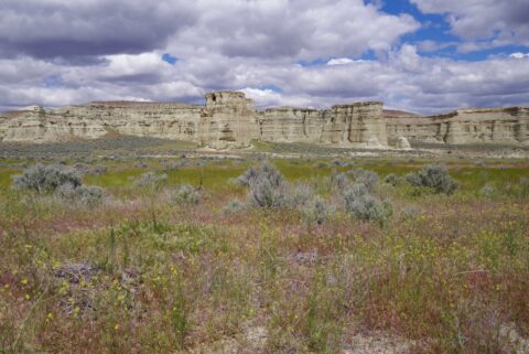
Pillars of Rome
These clay formations do somewhat resemble the pillars in Roman ruins. Located in very SE Oregon, they are seldom visited. Even though few people see them, it is a great side trip if you are in the area. The formations… read more Pillars of Rome
Two Tuya Subglacial Volanoes
These are a real treat! Tuya subglacial volcanoes are basically volcanoes that erupt under an ice sheet. The erupting volcano, with the cooling effects of the ice, weight of the ice sheet above, and the effects of the lake the… read more Two Tuya Subglacial Volanoes
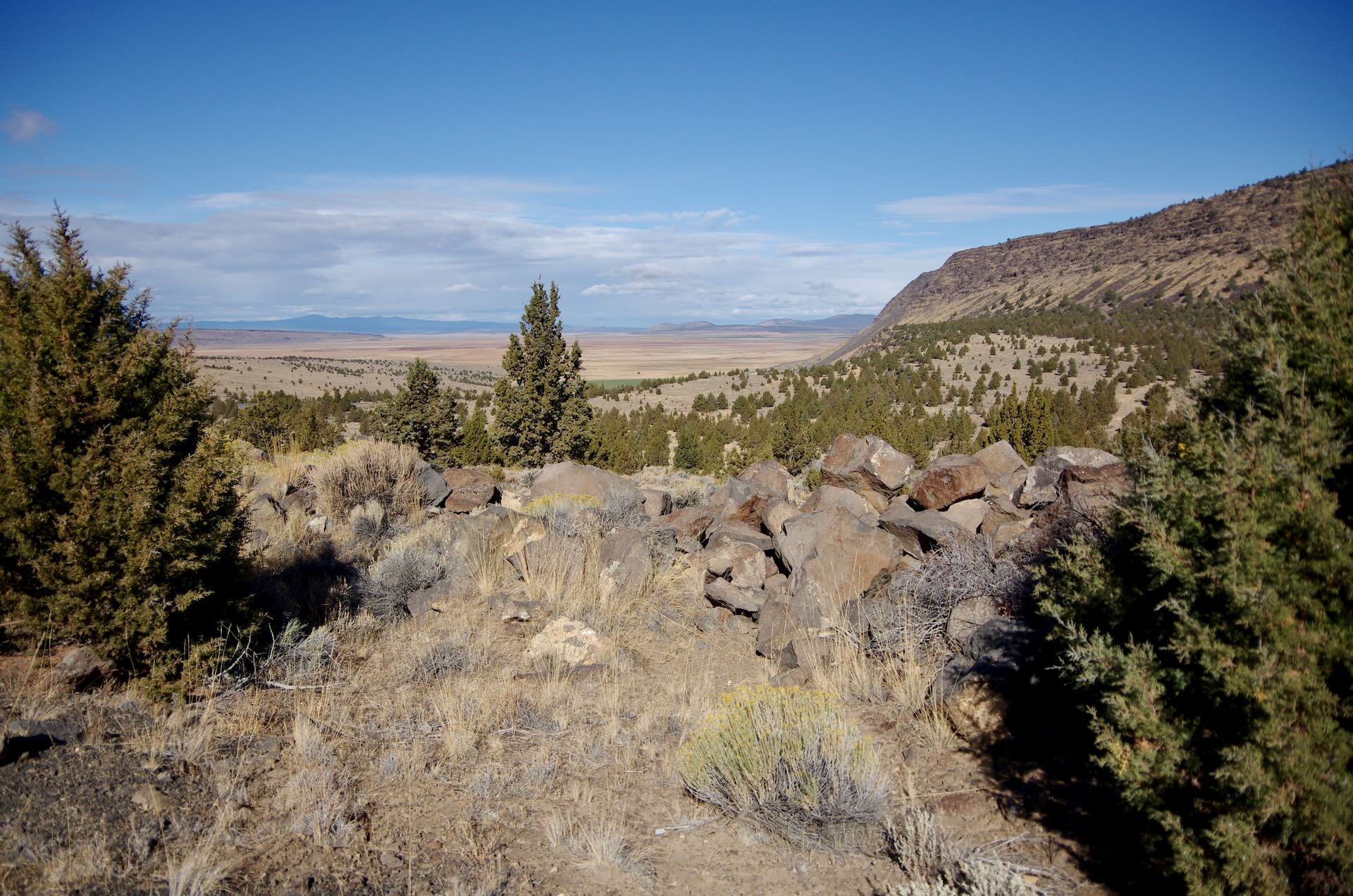
Typical Central Oregon Roadside
Miles of this. Yes, the land varies a lot… You will find rocky scenes like this, a nice Ponderosa Pine forest, the remnants of a volcano, great whitewater, or even a lake. There is a lot of this though. Download… read more Typical Central Oregon Roadside
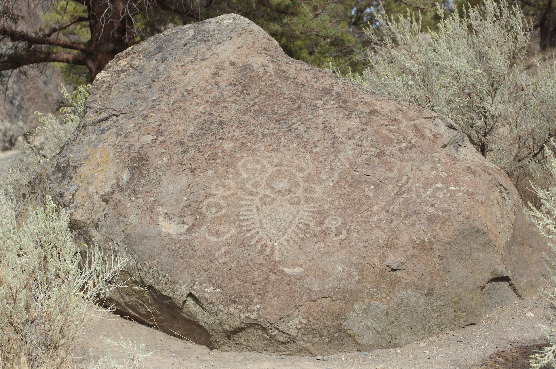
Crooked River Petroglyph
Near Lake Billy Chinook in Central Oregon you will find this. Relocated to this position in 1963, about one mile/1.6km from its original location on the Crooked River. Found in 1961, it was on land, ceded by treaty, from the… read more Crooked River Petroglyph
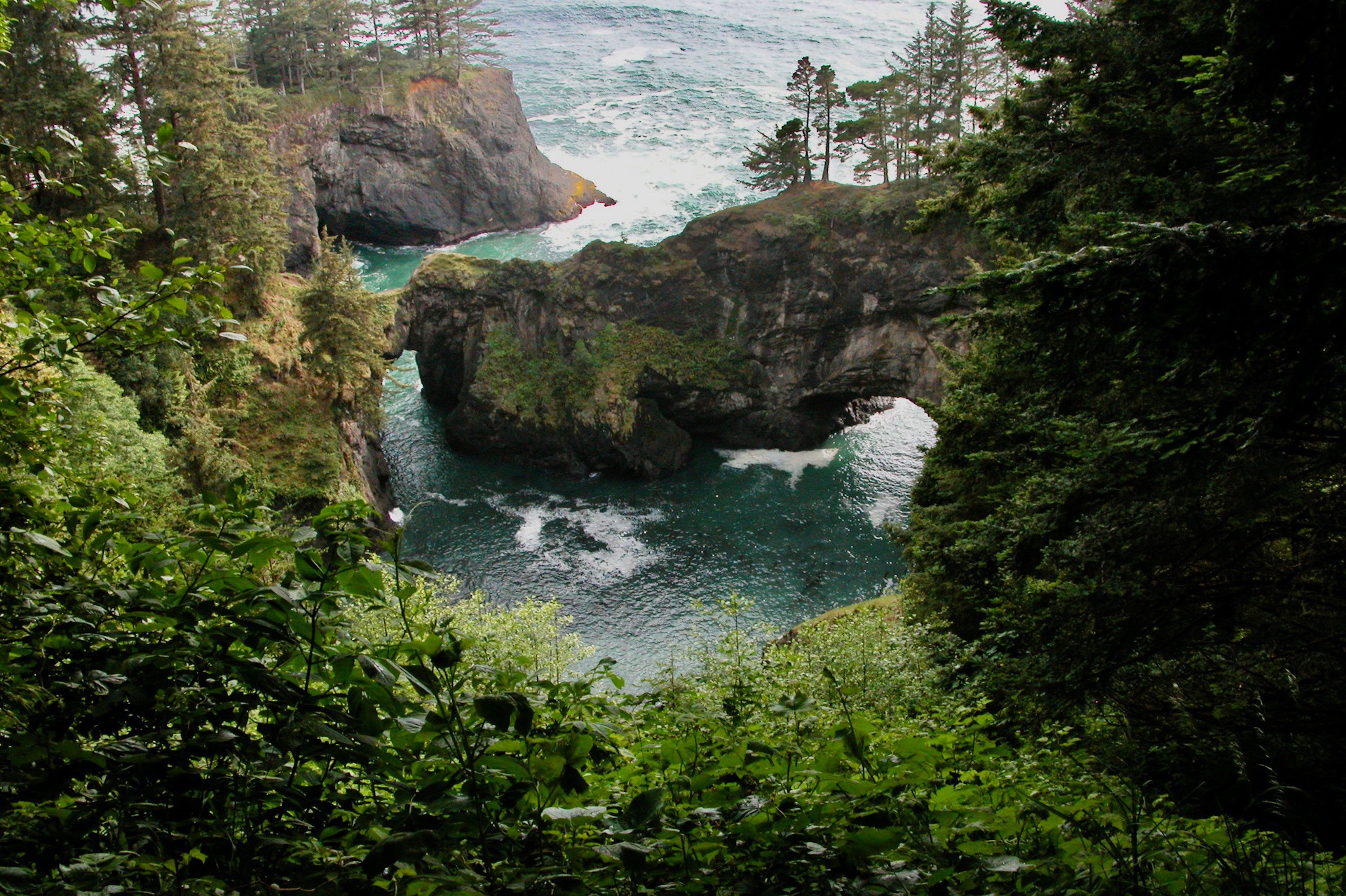
Natural Bridges Viewpoint
Located near milepost 346 on Hwy-101 on the southern Oregon coast, this view is a few steps from the parking area. There is a trail to take you farther down, passing wildflowers and more. Just a couple minutes north of… read more Natural Bridges Viewpoint
Mosier Twin Tunnels
Located on the historic Columbia River Scenic Highway just west of Hood River. The highway was replaced by Interstate 84, but sections of the old, beautiful, highway remain. Most people view the western part of the highway while visiting the… read more Mosier Twin Tunnels
Away From The Road – Day 4 of 5: Crack in the Ground
Crack in the Ground is a volcanic fissure about 2mi/3.2km long. It is essentially a cave without a roof. The trail varies from perhaps six feet/2m in depth to 30 feet/9m. The width of the crack, from wall to wall,… read more Away From The Road – Day 4 of 5: Crack in the Ground
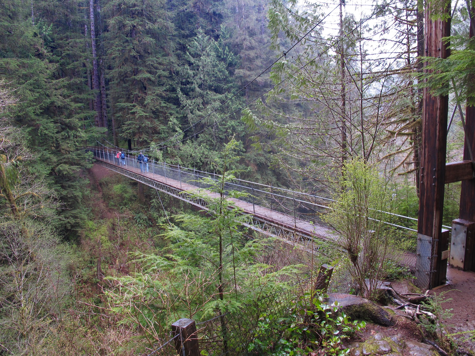
Away From The Road – Day 3 of 5: Drift Creek Falls Suspension Bridge
A short distance from Lincoln City, on the Central Oregon coast, is a hidden gem. A hiking trail with a suspension bridge that has a view of a 75ft/23m waterfall. The trail is easy to moderate in difficulty, and is… read more Away From The Road – Day 3 of 5: Drift Creek Falls Suspension Bridge

