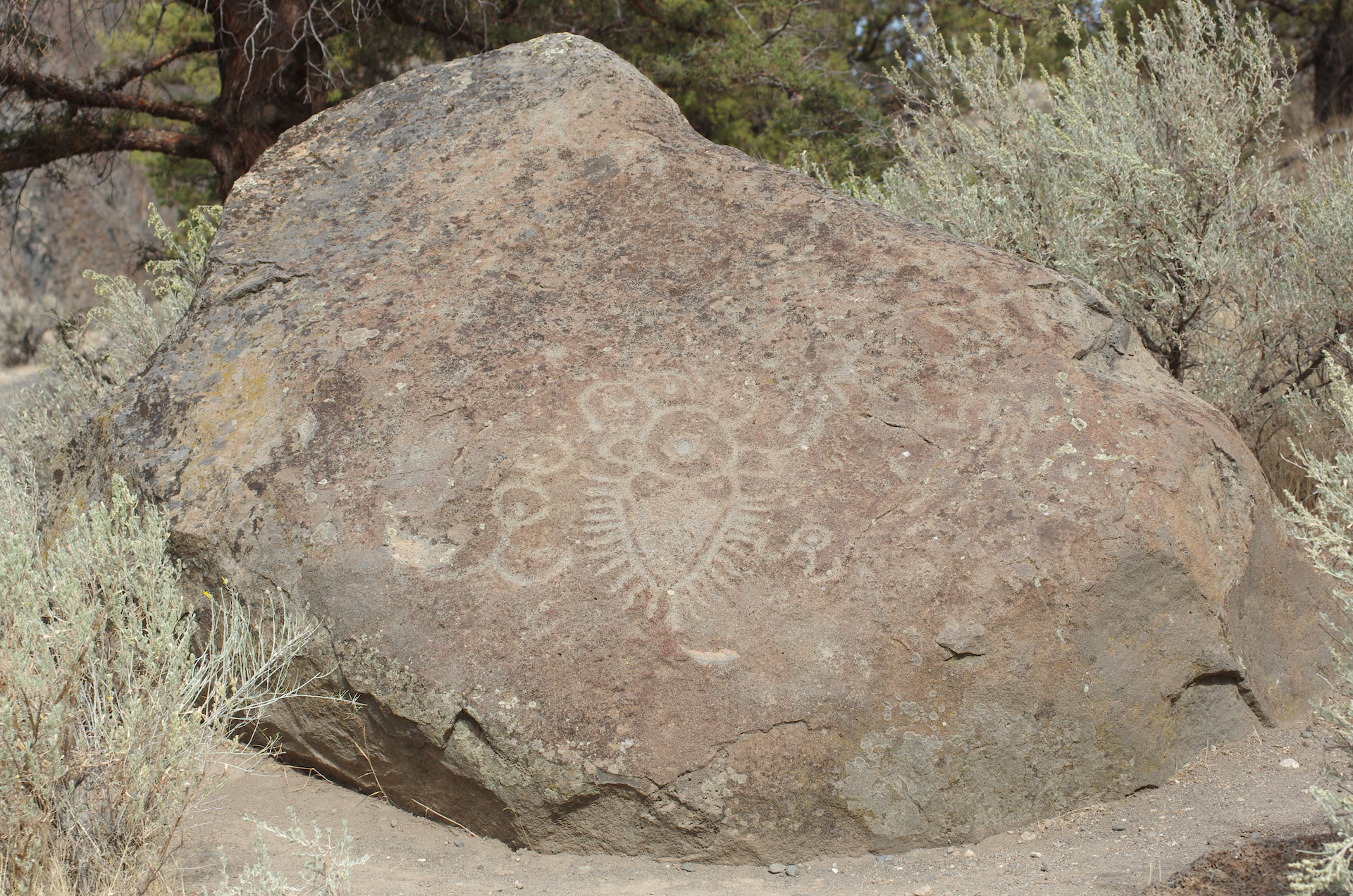
Near Lake Billy Chinook in Central Oregon you will find this. Relocated to this position in 1963, about one mile/1.6km from its original location on the Crooked River.
Found in 1961, it was on land, ceded by treaty, from the Warm Springs and Wasco tribes to the U.S. Government. It was moved to this location before the dam was completed in 1964.
Lake Billy Chinook is named after Billy Chinook, of the Wasco Tribe, who traveled with explorers Kit Carson and John Fremont in the 1840’s.
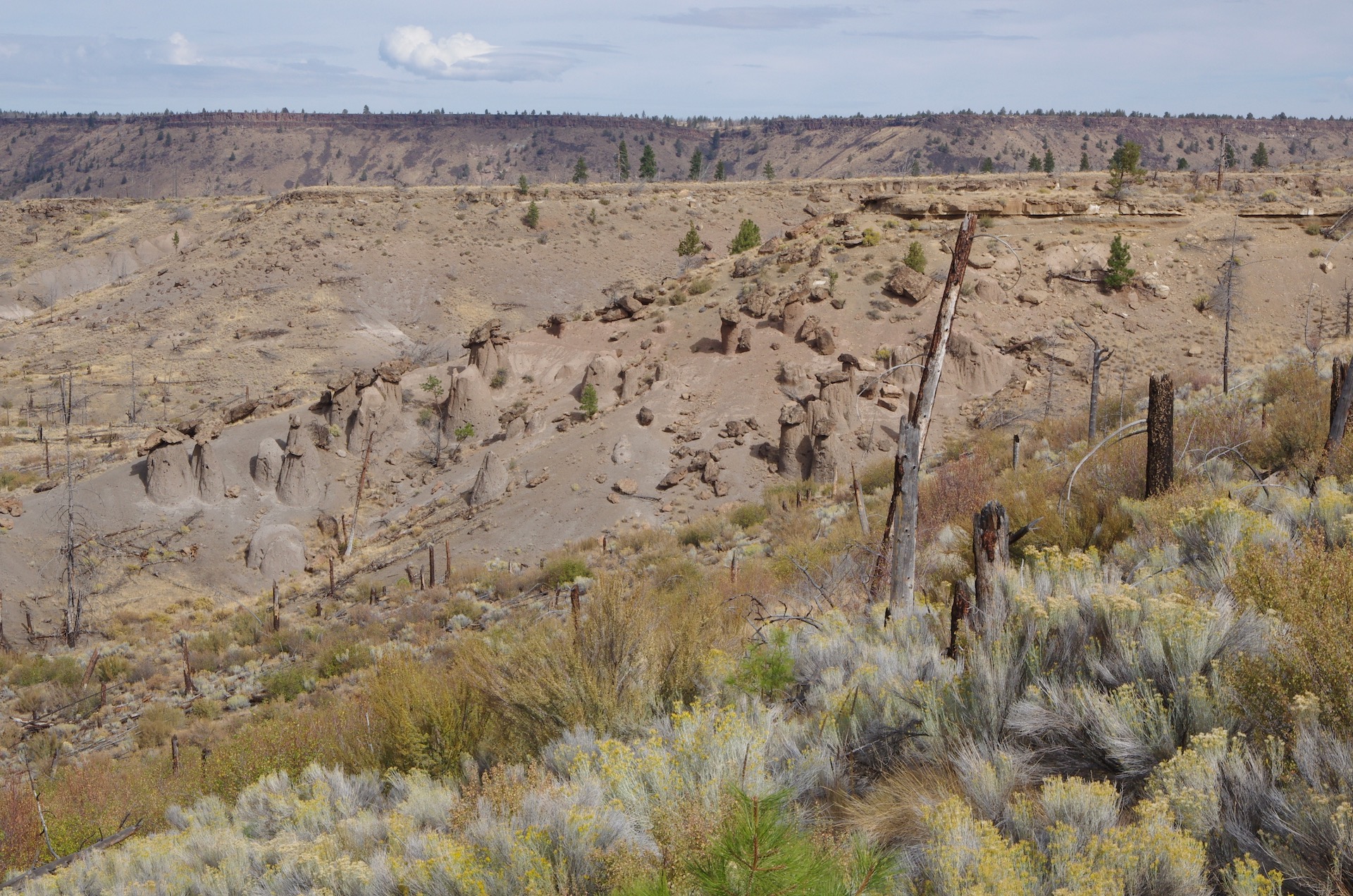
The lake is unique in many ways… The lake has thee tributaries, the north arm is from the Metolious River, the middle from the Deschutes River, and the southern arm from the Crooked River. The north shore of the Metolious arm is part of the Warm Springs Reservation, the south shore are managed by the Bureau of Land Management, while the Deschutes and Crooked River Arms are part of Cove Palisades State Park. Much of the basalt wall that seems to encompass the lake, is columnar basalt.
If you are on Hwy-97 between Madras and Redmond, you will see the signs directing you to the lake, just east of the highway.
Location via Google Maps


