Tag: GPS
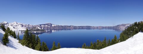
Crater Lake National Park
Taken from the area near the lodge in May, before the snowmelt, this is one of my favorites. The lake is beautiful anytime of the year, but winter and spring are magical. This image is actually a composite of seven… read more Crater Lake National Park
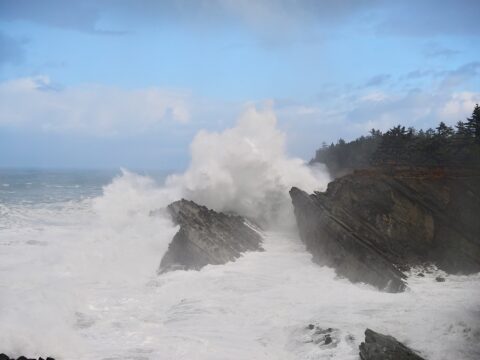
Shore Acres Wave
A wave from a mild storm at Shore Acres State Park. This photo was taken are the Simpson Reef overlook. The people on the right side of the image are about 75ft/23m above the water, so this wave is around… read more Shore Acres Wave
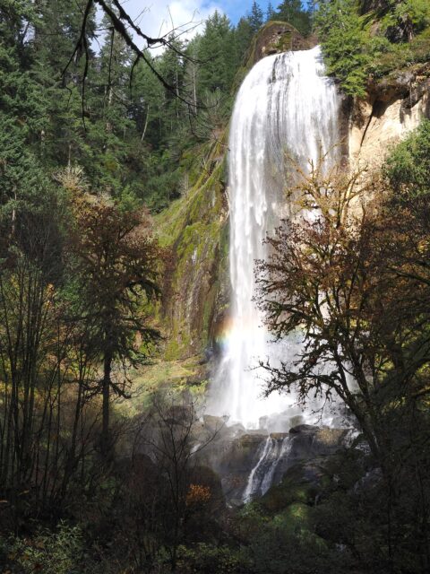
Silver Falls
This is Silver Falls, from the Golden and Silver Falls State Natural Area located NE of Coos Bay. I prefer Silver Falls in the “park” as the dome at the top of the waterfall makes for a very unique water… read more Silver Falls
Doherty Hang Glide Launch
Near the Nevada border in Southern Oregon, the hang glide launch is near the top of the Doherty Slide just past mile post 56 on Hwy-140 SE of Lakeview. With the basin floor at 5,200ft/1,585m and the top of the… read more Doherty Hang Glide Launch
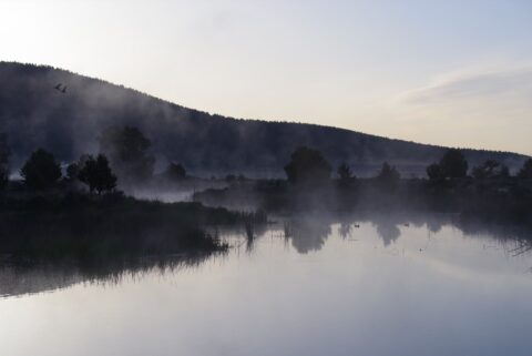
Stevenson Park Sunrise
Stevenson Park is located near milepost 12 east of Klamath Falls on Hwy-140. During the day, the park may not be the most attractive, but it looked pretty good driving by at 5:15 AM (May 19). I shot several photos… read more Stevenson Park Sunrise
Deep Creek Falls
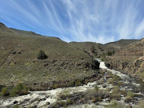
This is an oddity, a waterfall in the high desert. Deep Creek Falls is 25 ft/8 m high and is located East of Lakeview on OR Hwy-140. This is the view when heading east on the highway. Location via Google… read more Deep Creek Falls
Mt McLoughlin
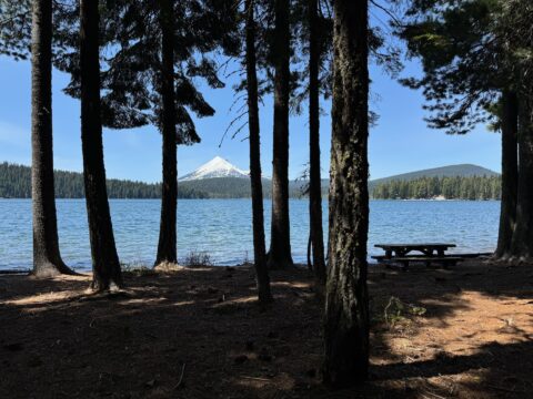
Mt McLoughlin is a 9,493 ft/2,893 m high dormant volcano in Southern Oregon. It is a major landmark in the area. For a mountain this high, it has a rare hiking trail to the summit. This photo was taken from… read more Mt McLoughlin
Two Tuya Subglacial Volanoes
These are a real treat! Tuya subglacial volcanoes are basically volcanoes that erupt under an ice sheet. The erupting volcano, with the cooling effects of the ice, weight of the ice sheet above, and the effects of the lake the… read more Two Tuya Subglacial Volanoes
Panorama Point County Park
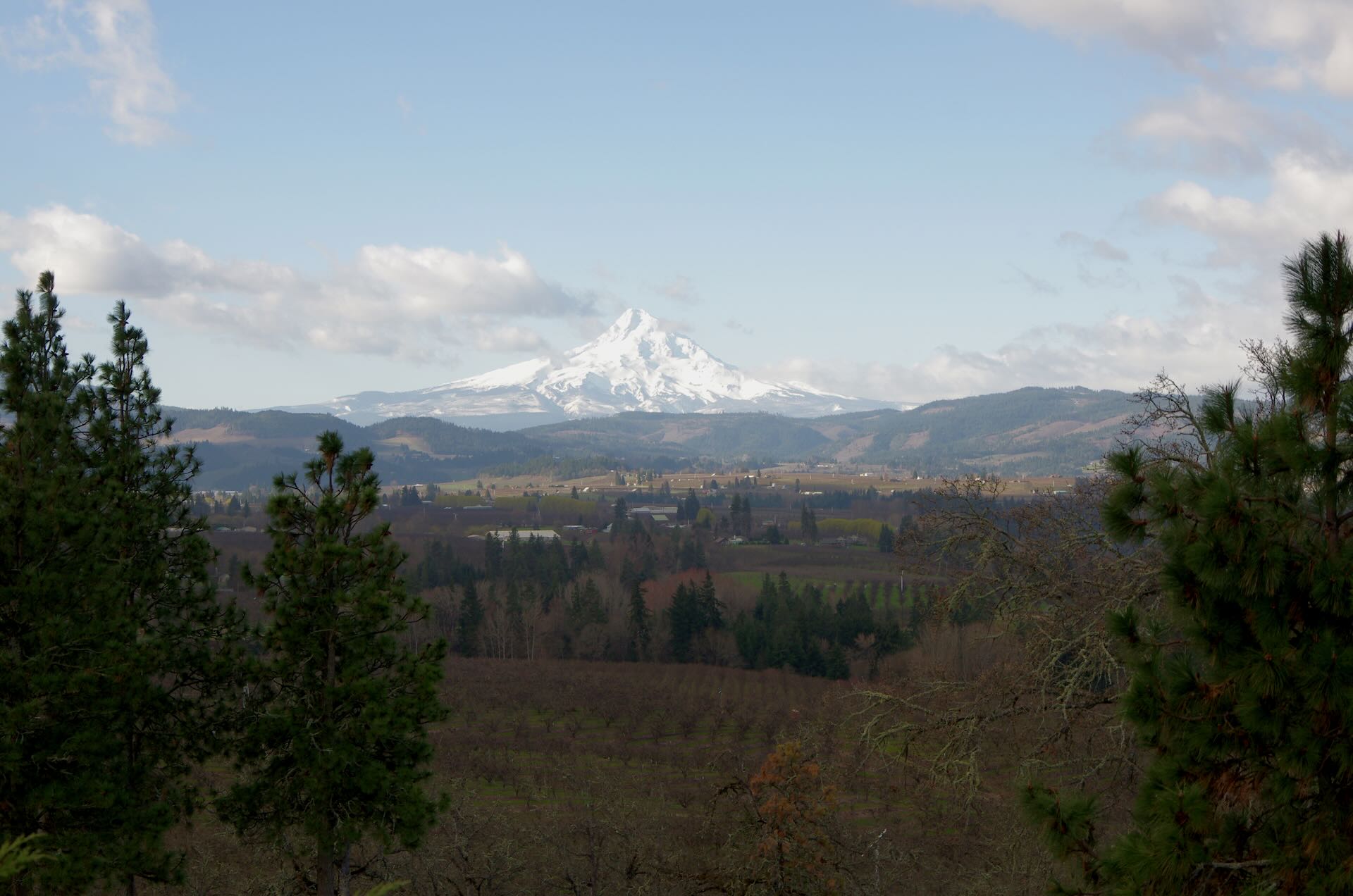
Located off of Hwy-35 headed just out of Hood River, this park offers great views of Mt. Hood, and areas around Odell and Parkdale to the south.or This is a great stop to get out and stretch your legs for… read more Panorama Point County Park
Columbia River Gorge
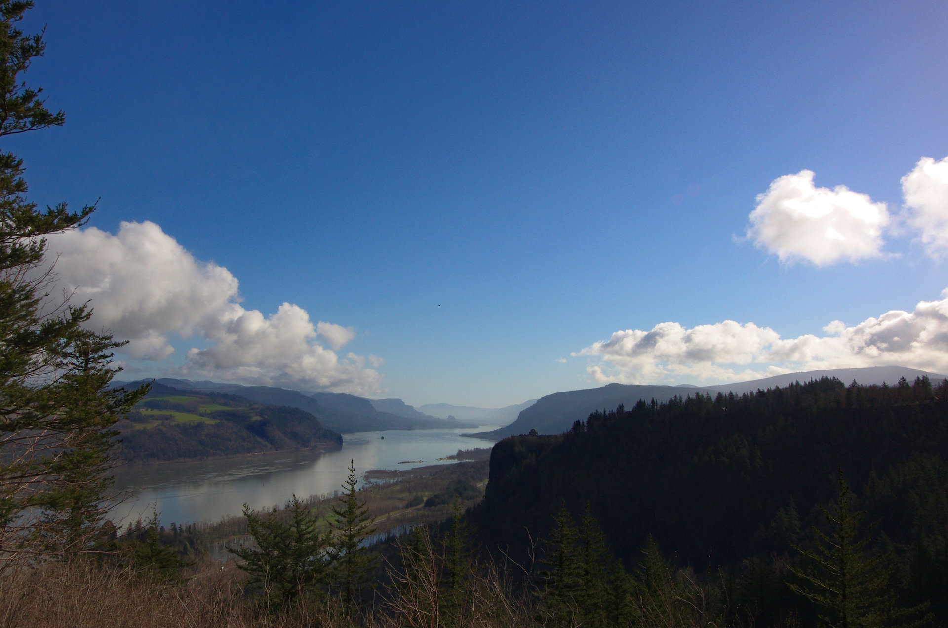
A great, and classic, view from the Chanticleer Point Lookout at the Portland Women’s Forum State Scenic Viewpoint looking towards the Vista House and the Columbia River Gorge. Download HD Wallpaper Location via Google Maps
Crooked River Petroglyph
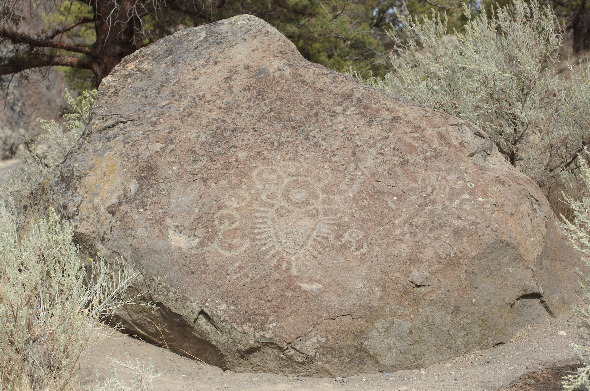
Near Lake Billy Chinook in Central Oregon you will find this. Relocated to this position in 1963, about one mile/1.6km from its original location on the Crooked River. Found in 1961, it was on land, ceded by treaty, from the… read more Crooked River Petroglyph
Mt. Hood from Lolo Pass Road
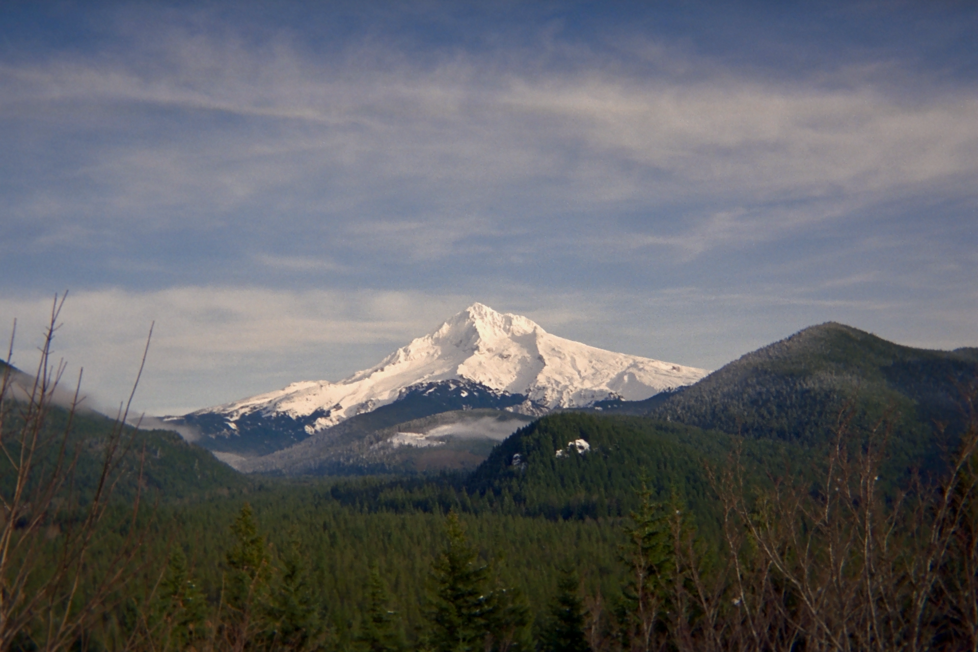
A classic view of Mt. Hood. Head east of The Portland area on Hwy-26. Turn left on E. Lolo Pass Road near milepost 42. About ten minutes later, this view will be on the right side of your vehicle. The… read more Mt. Hood from Lolo Pass Road

