Author: roadsideoregon.com
Away From The Road – Day 4 of 5: Crack in the Ground
Crack in the Ground is a volcanic fissure about 2mi/3.2km long. It is essentially a cave without a roof. The trail varies from perhaps six feet/2m in depth to 30 feet/9m. The width of the crack, from wall to wall,… read more Away From The Road – Day 4 of 5: Crack in the Ground
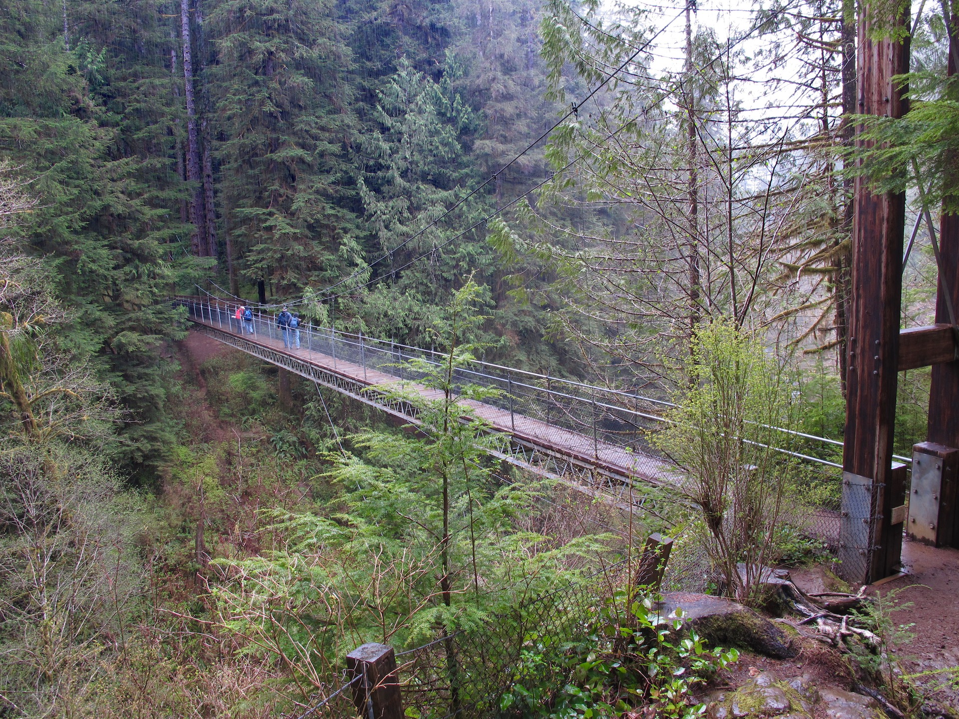
Away From The Road – Day 3 of 5: Drift Creek Falls Suspension Bridge
A short distance from Lincoln City, on the Central Oregon coast, is a hidden gem. A hiking trail with a suspension bridge that has a view of a 75ft/23m waterfall. The trail is easy to moderate in difficulty, and is… read more Away From The Road – Day 3 of 5: Drift Creek Falls Suspension Bridge
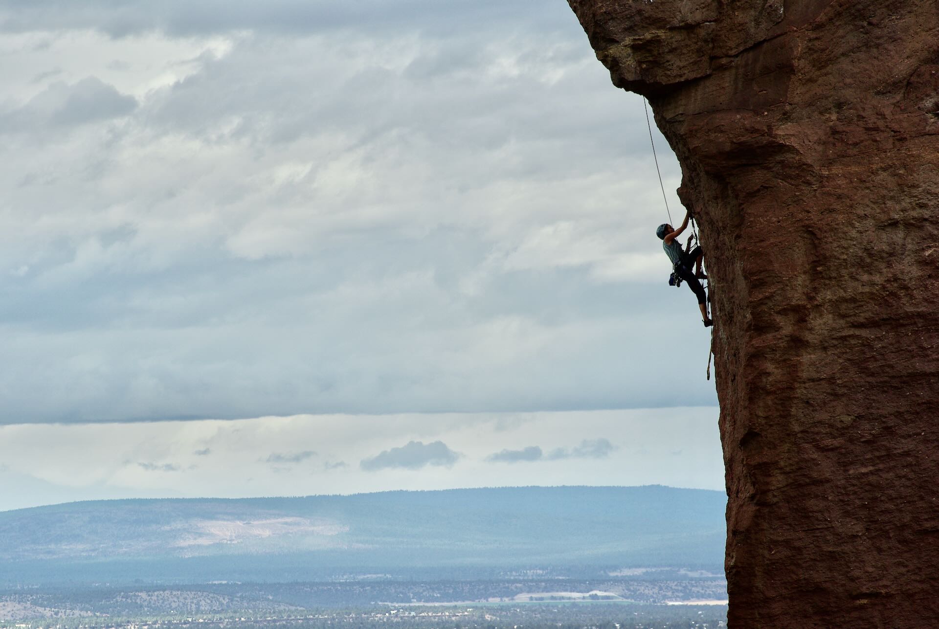
Away From The Road – Day 2 of 5: Smith Rocks
Smith Rock State Park is located near Hwy-97 a few minutes north of Redmond, near Terrebonne just north of milepost 116. Smith Rock State Park is considered the birthplace of modern sport climbing. The park contains the first U.S. climb… read more Away From The Road – Day 2 of 5: Smith Rocks
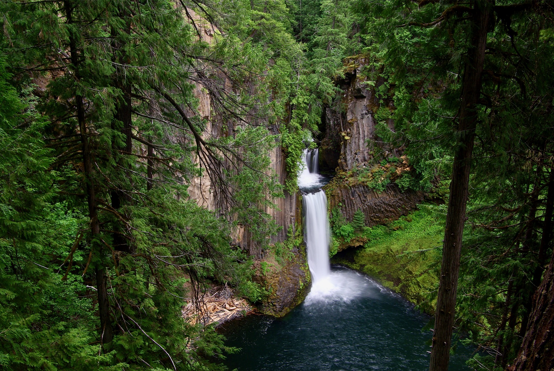
Away From The Road – Day 1 of 5: Toketee Falls
Toketee Falls is located east of Roseburg, Oregon. The 120 foot/37 meter two stage plunge through a cut in the columnar basalt wall is one of my favorites. Toketee Falls is located on the North Umpqua River where is meets Clearwater… read more Away From The Road – Day 1 of 5: Toketee Falls
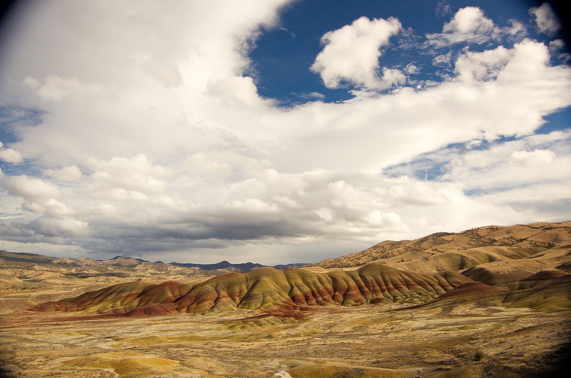
Painted Hills (Wide View)
The Painted Hills, a unit of the John Day Fossil Beds National Monument, get their name from the stratifications in the soil. The bands are from layers of silt, vegetative matter and more from the time this was an ancient river… read more Painted Hills (Wide View)
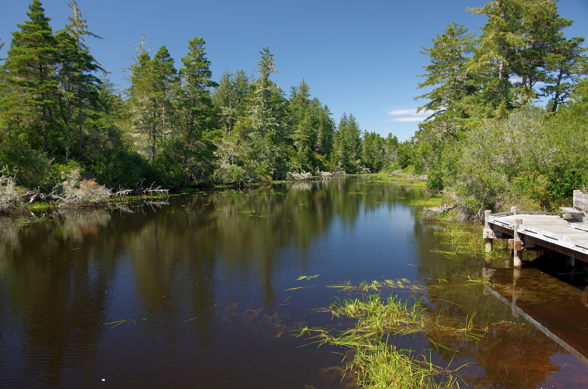
Siltcoos Lagoon
The Siltcoos lagoon is located on the Oregon coast, west of Hwy-101 and south of Dunes City. The turn off from the highway is near milepost 198. There is a nice view like this from the road, and a lagoon… read more Siltcoos Lagoon
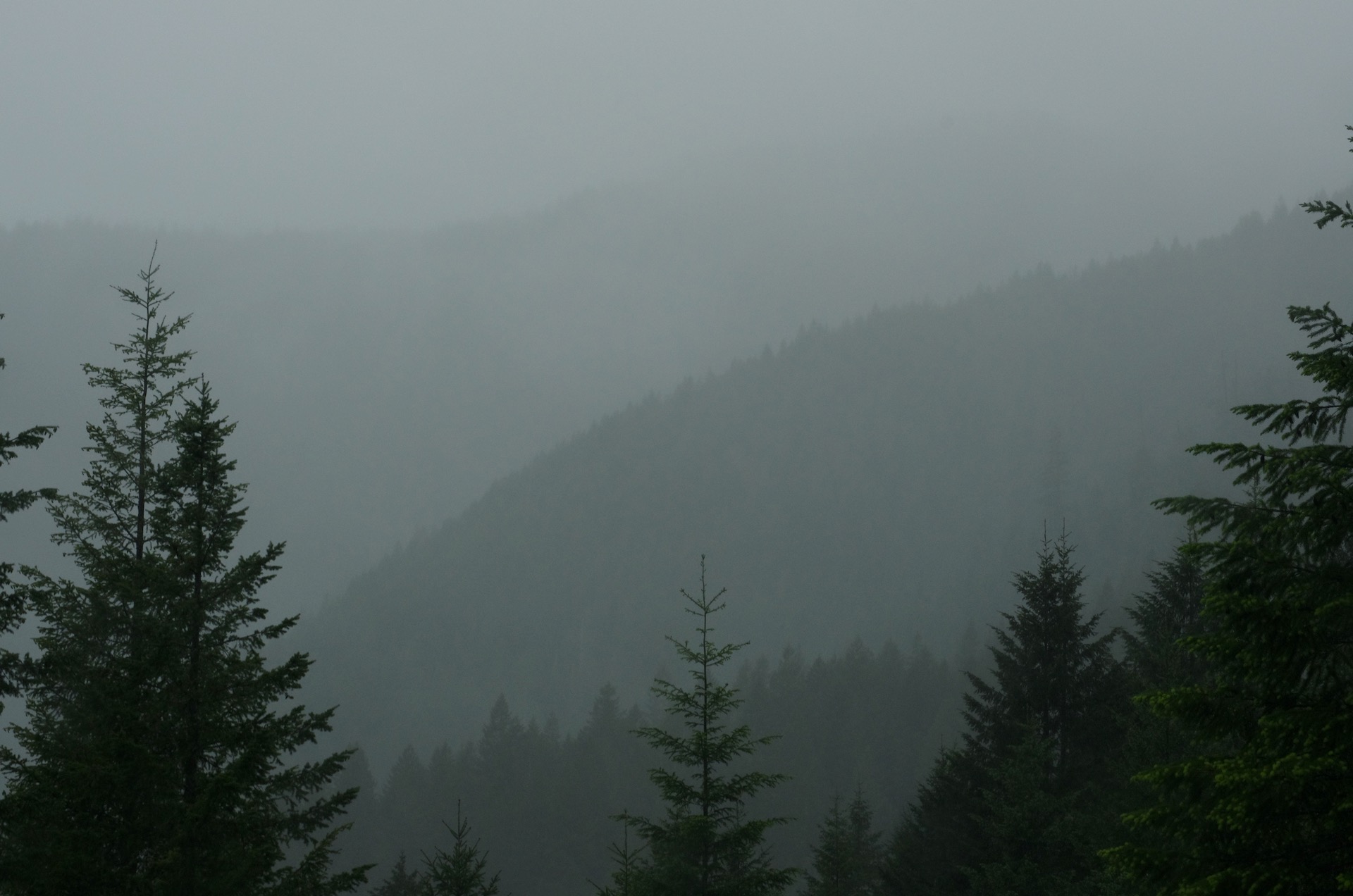
Rainy Hills
A view of some hills in the rain. This could have been taken almost anywhere, but was taken on McCoy Creek Road. McCoy Creek Road is a couple minutes east of Idanha which is east of Detroit on Hwy 22… read more Rainy Hills
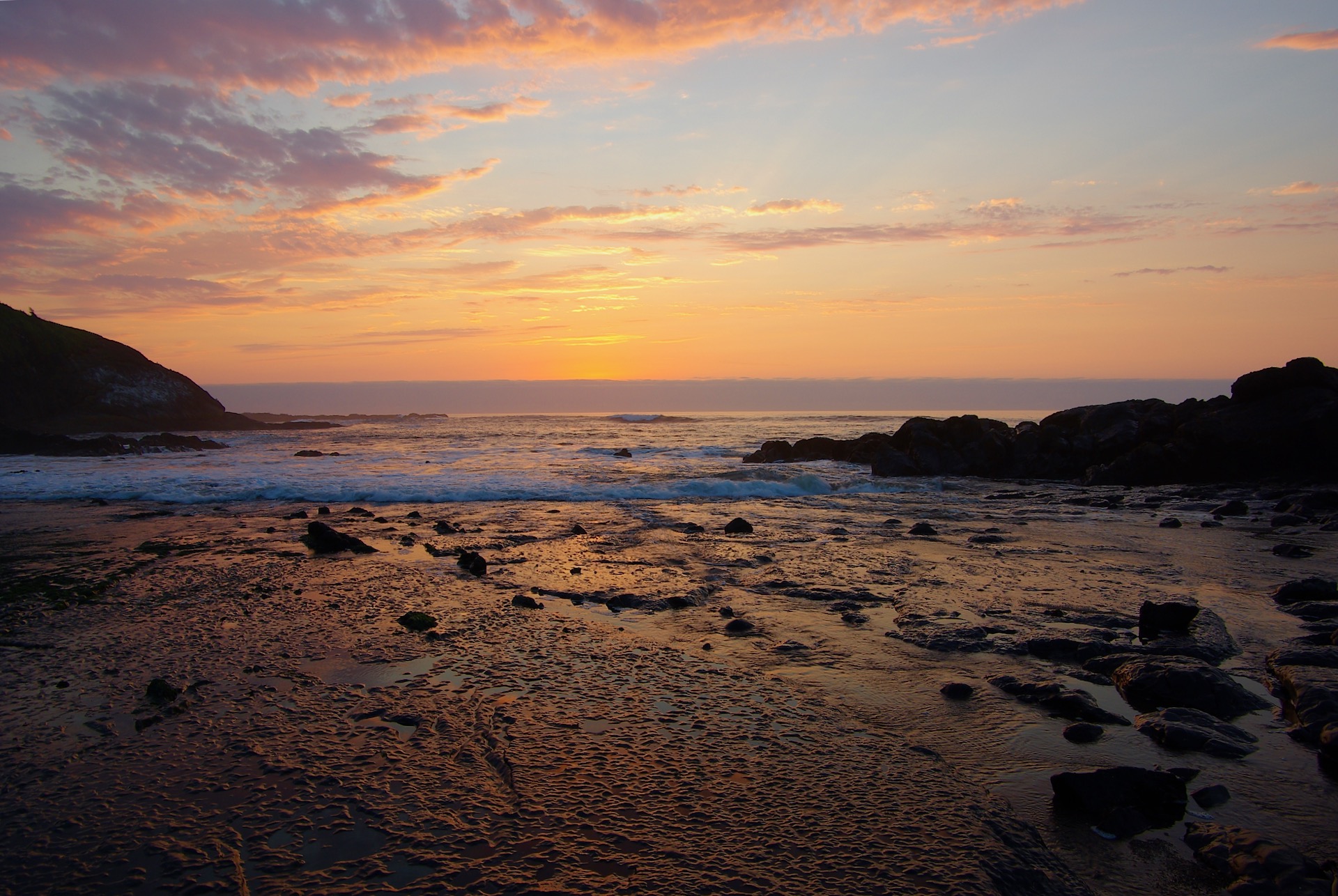
Fogarty Creek Sunset
Fogarty Creek State Park is located on the coast between Depoe Bay and Lincoln City, south of milepost 124. A sandy beach is at the north end of the park, while a rocky area becomes visible at low tide on… read more Fogarty Creek Sunset
A Crabby Leaf?
A simple pic of a leaf, that looks like a crab, I noticed while walking around a park in the Willamette Valley. This could have been anywhere, so the location isn’t really needed here. Download HD Wallpaper
Mt. Hood and Lost Lake
A classic view of Mt. Hood behind Lost Lake in Hood River county, Oregon. There are many beautiful views of these two landmarks. Unfortunately, when I was there it was too windy for anything noteworthy. I need to go back,… read more Mt. Hood and Lost Lake
Belknap and McKenzie Pass
You can see Belknap Crater area and part of the 65 sq mi/170 km2 basaltic andesite lava flow at McKenzie Pass in this photograph. Belknap is the youngest shield volcano in the Cascade range with an elevation of 6,876 ft/2,096… read more Belknap and McKenzie Pass
The Beach
A typical beach scene at the Oregon Coast. This happens to be the central coast, but it could be a beach anywhere along the coastline. I happen to prefer the rocky coastline of Southern Oregon, but there isn’t a bad… read more The Beach


